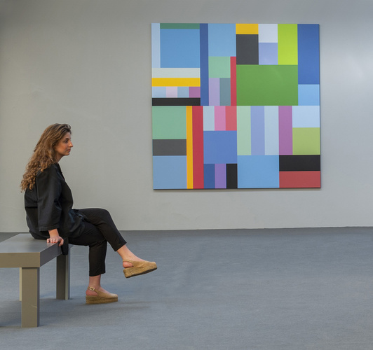
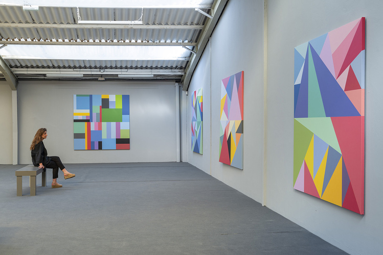
Trazado de Indias: Parcelas Dominantes 1973-1983
Date:
2019
Matériaux:
Acrylic on canvas
Dimensions:
200 x 200 cm each
Exhibition history:
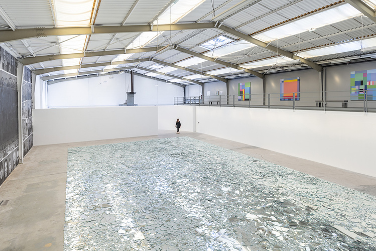
2019 Galeria Continua Les Moulins, Boissy-le-Châtel, France
Courtesy:
Lucy + Jorge Orta. Photography Oak Taylor-Smith
Since the discovery of the Americas, the trazado de Indias has structured urban planning of new towns and cities across the Spanish empire, this orthogonal layout is called a ‘manzana’. A manzana is equivalent to one-hectare and it regulates land division. The high concentration of latifundia was the origin of the social movements against the entire system of land accumulation. The revolutionary organisations sought land-ownership reform and social justice, but the methods practiced by the guerilla-army, with abductions and killings, led to the creation of the Argentina Anticommunist Alliance: the ‘Triple A’. The paintings of Piet Mondrian, with their different sized rectangles are the source of inspiration for Orta’s work Parcelas Dominantes, which represent the unequal division of land across the Americas.


